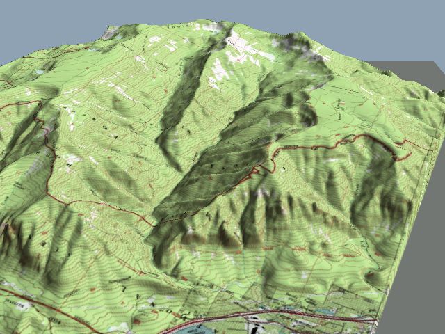
a 3D map view of Wooly Horn Ridge
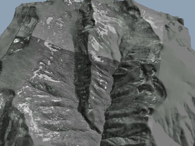
a 3D aerial photo of Wooly Horn Ridge
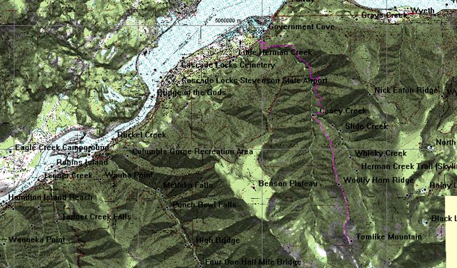
a shaded relief view of Wooly Horn Ridge showing the route to Tomlike Mtn.
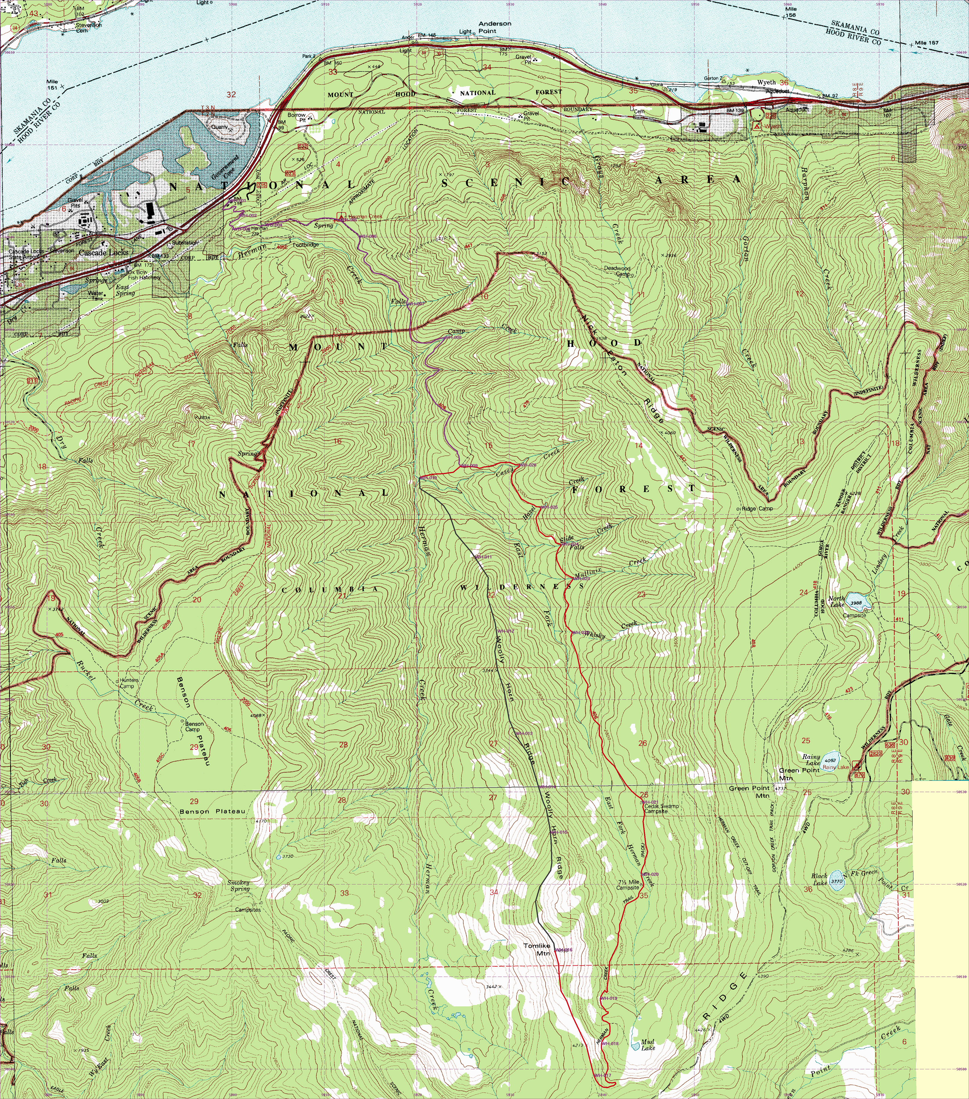
a topo map of Wooly Horn Ridge
The in and out trail part is shown in purple. The off trail part is shown in black . The return trail part is shown in red.
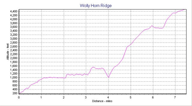
elevation profile derived from GIS information |
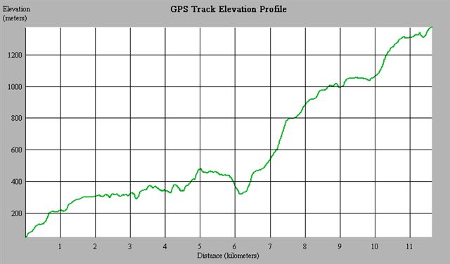
actual elevation profile recorded by GPS |
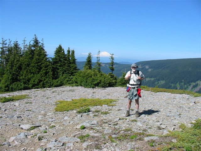
Friends Of The Gorge hike June 11, 2005
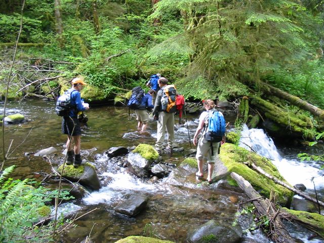
fording the east fork of Herman Creek - This turned out to be cold but easy.
|
|
|
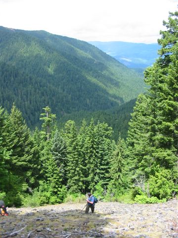
the view from the rockfall down into Herman Creek
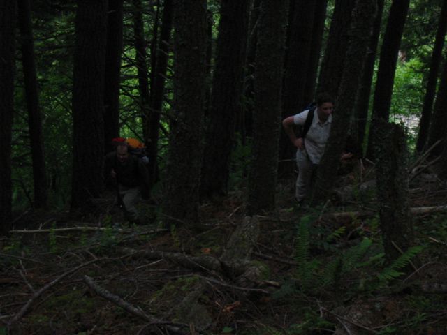
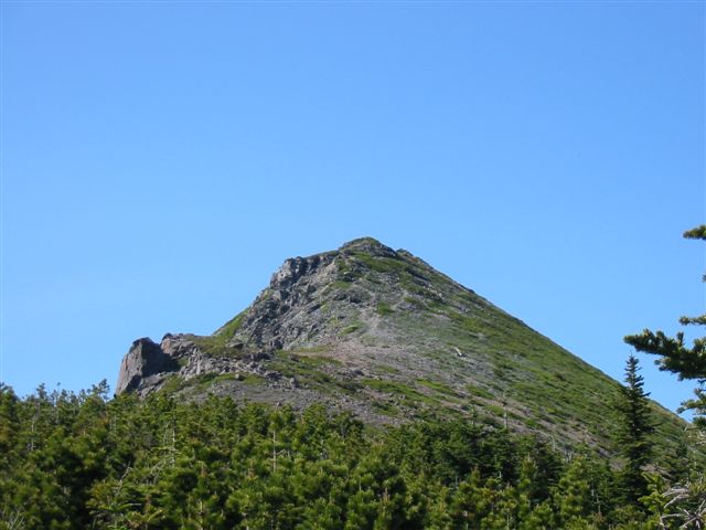
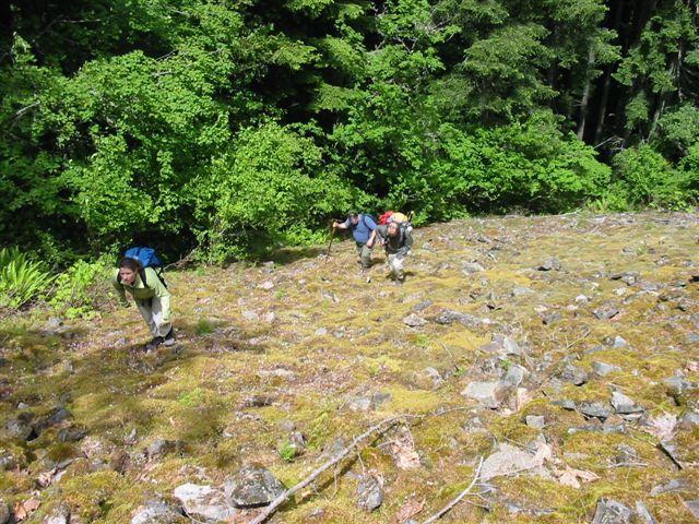
steep climbing in the woods - This was some of the best off-trail hiking I've found in the Gorge.
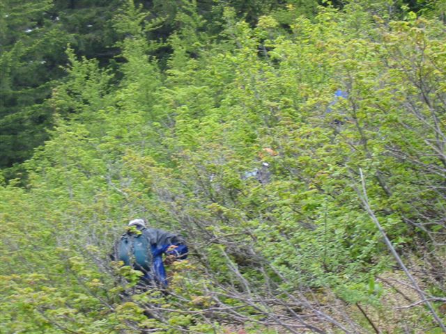
some nasty brush (and it was wet) - An off-trail Gorge hike isn't complete without some vine maple.
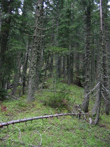
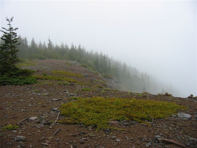
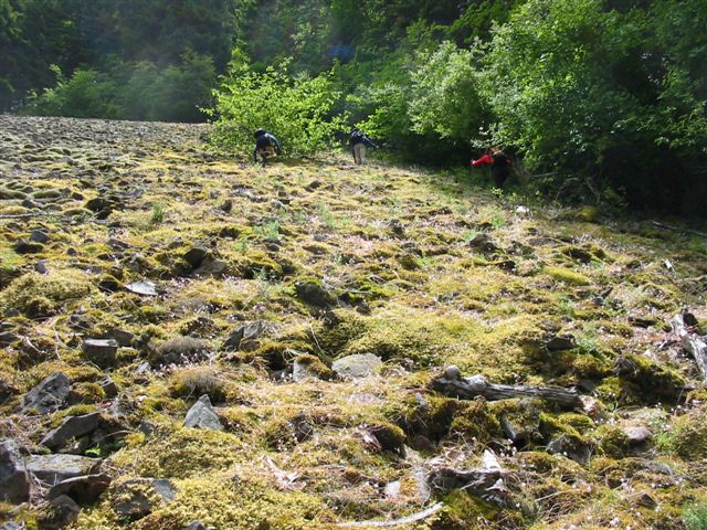
I thought this was a particularly nice part of the ridge.
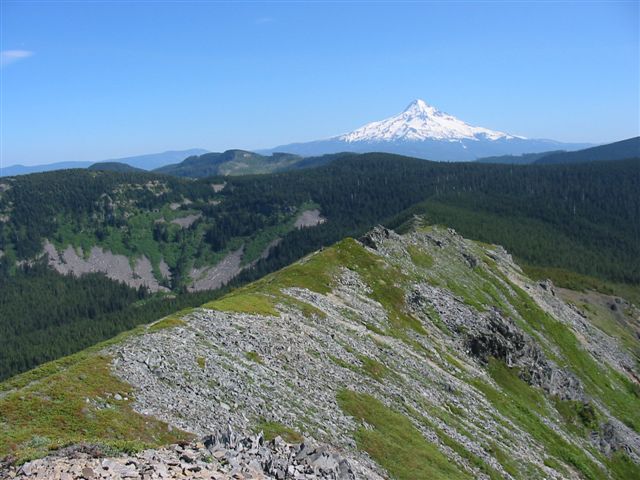
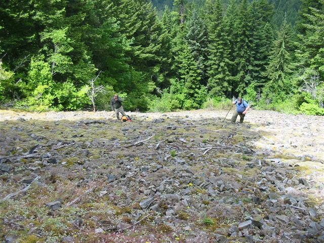
It was steep but the way was clear.